Jul 04, 2025
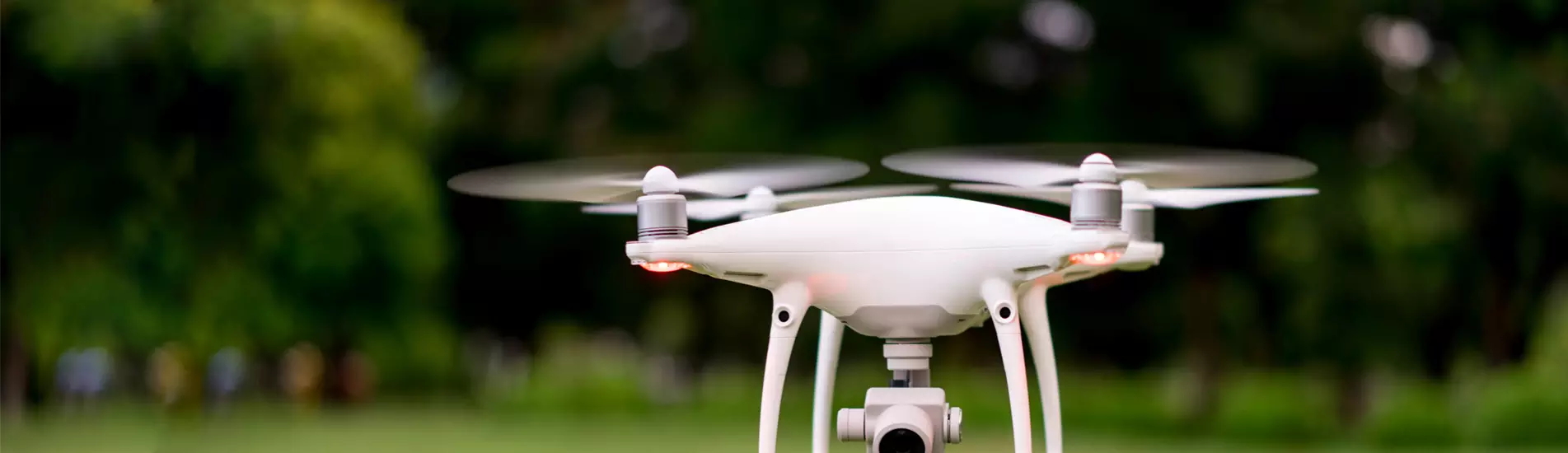
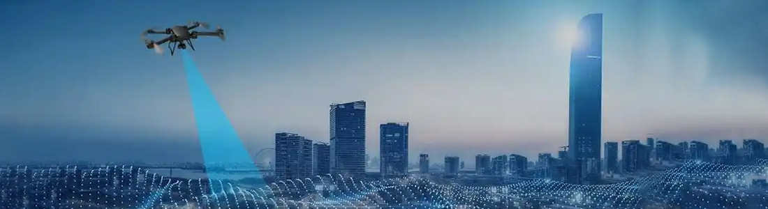
Combinée aux tendances actuelles du marché et aux avancées technologiques, l'application « drones et équipements de détection » a donné naissance à des scénarios diversifiés. Voici une analyse complète de l'ampleur du marché, des solutions techniques, du contexte politique et des cas types :I. Taille du marché et tendances de croissance Le marché mondial des systèmes de détection et de brouillage de drones poursuit sa croissance, avec des ventes atteignant 443 millions de dollars en 2023 et devraient atteindre 633 millions de dollars en 2030, à un TCAC de 5,3 % (Groner). La Chine, l'un des marchés à la croissance la plus rapide, a vu l'essor rapide d'entreprises locales telles qu'Aerospace Science and Technology Corporation (CETC) et Beijing Hewei Yongtai Science and Technology dans le domaine des systèmes anti-drones, qui ont conquis une part significative du marché mondial (Originality Docs). Parallèlement, le marché des drones LiDAR connaît une croissance significative et son volume mondial devrait atteindre des centaines de millions de dollars en 2024. Les modèles à voilure fixe et tournante sont largement utilisés dans la topographie et la cartographie industrielles, la surveillance agricole et d'autres domaines (GLONDHI). Solutions technologiques de base et matrice de produits1. Équipement de fusion multicapteurs : la série DJI Zenith H30 représente la référence du secteur. Elle intègre une caméra zoom 40 mégapixels (zoom optique 34x), un télémètre laser (jusqu'à 3 000 mètres), une imagerie thermique infrarouge (résolution 1 280 × 1 024) et une vision nocturne couleur. Elle permet la surveillance à haute température des lieux d'incendie (jusqu'à 1 600 °C) et la comparaison des images visibles et thermiques sur le même écran. Cette technologie a été appliquée aux opérations de secours en cas d'incendie, aux patrouilles frontalières et à d'autres scénarios. Des produits similaires, tels que le radar photoélectrique embarqué de Teledyne FLIR, permettent l'identification et le suivi rapides des cibles de drones (Gronhow). 2. Contre-mesures et système de défense Technologie de détection : le système quadrillé TDOA peut identifier les drones « volants noirs » en 2 secondes avec une erreur de positionnement de moins de 30 mètres grâce au positionnement par différence de temps des signaux radio, et a été déployé pour la sécurité d'événements à grande échelle à Pékin, Shanghai et d'autres villes (Civil Aviation Network of China). Technologie de brouillage : l'équipement de contre-mesure portable de Beijing Hewei Yongtai peut supprimer de manière directionnelle les liaisons de communication des drones, prenant en charge le brouillage multibande (2,4 GHz/5,8 GHz) avec un rayon effectif allant jusqu'à 1 km (GlobeNewswire). Solution de destruction dure : le lanceur de filet de capture de drone de SKYLOCK, qui peut éliminer la menace par interception physique, convient aux zones très sensibles telles que les aéroports et les centrales nucléaires (Groneway). 3. Équipement de détection spécifique à l'industrie Surveillance agricole : des drones équipés de caméras multispectrales peuvent analyser la teneur en azote des cultures, la répartition des ravageurs et des maladies, et se combiner avec des algorithmes d'IA pour générer des programmes de fertilisation précis. Surveillance environnementale : les drones LIDAR sont utilisés pour l'inspection de la pollution des rivières, l'identification des déversements illégaux grâce à la modélisation 3D et la collaboration avec des capteurs de qualité de l'eau pour obtenir une transmission de données en temps réel.Environnement politique et exigences de conformité Le Règlement provisoire sur l'administration des vols de véhicules aériens sans pilote, qui entrera en vigueur en 2024, clarifie le principe de catégorisation et de gestion : - Licence de navigabilité : les drones de taille moyenne/grande doivent obtenir la certification de navigabilité de la CAAC, et les modèles micro/légers doivent se conformer aux normes nationales obligatoires. - Restrictions de vol : l'espace aérien au-dessus de 120 mètres de hauteur, autour des aéroports, etc. est désigné comme espace aérien contrôlé, et les vols doivent être demandés à l'avance. - Sécurité des données : les informations géographiques collectées par les équipements de détection doivent être conformes aux exigences de la loi sur l'arpentage et la cartographie, et la transmission cryptée des données dans les zones sensibles est requise (Encyclopédie Jitterbug). Les politiques locales telles que les « Mesures pour le développement de l'industrie des drones à Pékin » subventionnent les projets économiques à basse altitude, tout en exigeant des entreprises qu'elles accèdent aux plateformes réglementaires municipales pour permettre le partage en temps réel des données de vol. Scénarios et cas d'application typiques1. Sécurité publique et sauvetage d'urgence Protection des éléphants d'Asie : le Yunnan Xishuangbanna a déployé un drone équipé du Zenith H30T pour surveiller les troupeaux d'éléphants grâce à l'imagerie thermique infrarouge pénétrant la canopée des arbres, combinée à une technologie de pointage et de positionnement laser pour réaliser un suivi 7×24 heures, et a averti avec succès de 43 conflits homme-éléphant en 2024. Sécurité de la ville : la sécurité publique de Ningbo Zhenhai a adopté un système de patrouille de drones entièrement automatisé avec des fonctions intégrées d'imagerie thermique et de cris, aidant à la recherche et au sauvetage de personnes perdues 12 fois en 2023 et réduisant le taux de criminalité nocturne de 23 % (gouvernement populaire du district de Zhenhai, ville de Ningbo).1. Inspection des infrastructures Inspection électrique : les drones à voilure fixe équipés de LiDAR peuvent générer des modèles 3D de lignes de transmission, identifier les dangers cachés tels que l'affaissement anormal de l'arc électrique et les isolateurs cassés, et augmenter l'efficacité de 80 % par rapport à l'inspection manuelle (Groner). Surveillance des oléoducs : le drone radar à réseau phasé d'Echodyne peut pénétrer la couverture végétale et surveiller en temps réel les anomalies de concentration de gaz causées par les fuites des oléoducs (Gronhow). 1. Logistique et gouvernance environnementale Logistique intelligente : China Express a testé un modèle de distribution « drone + véhicule sans pilote » à Chengdu. Une fois le transport principal effectué par le drone, le véhicule sans pilote prend en charge le dernier kilomètre, réduisant ainsi le délai de distribution de 40 %. Gouvernance fluviale : un projet écologique au Fujian a utilisé des drones équipés de caméras hyperspectrales pour identifier les objets flottants à la surface de l'eau et localiser la source de pollution, avec un total cumulé de 17 incidents de rejets illégaux traités en 2024. Tendances et suggestions futures 1. Intégration technologique : la 5G-A combinée à la technologie de positionnement TDOA peut réaliser un suivi au centimètre près des cibles de drones, et il est prévu que les solutions pertinentes seront appliquées à grande échelle dans les villes intelligentes en 2025. 2. Élargissement du scénario : sous l'impulsion de la politique économique à basse altitude, la demande d'équipements de détection de drones dans les domaines des urgences médicales, de la gestion du trafic aérien et d'autres domaines va croître rapidement, et il est recommandé de prêter attention au système de surveillance prenant en charge l'eVTOL (Electric Vertical Take-off and Landing Vehicle). Disposition de conformité : les entreprises doivent s'adapter à l'avance aux exigences du Règlement provisoire pour l'administration des vols de véhicules aériens sans pilote, établir un système de gestion de la sécurité des données et participer à la formulation des normes industrielles (telles que les Exigences générales pour les systèmes de détection et de contre-mesures des drones de faible et de petite taille).


 IPv6 network supported |
Plan du site
|
Xml
|
bloguer
|
politique de confidentialité
|
Nouvelles
IPv6 network supported |
Plan du site
|
Xml
|
bloguer
|
politique de confidentialité
|
Nouvelles